From La Torre de Fontaubella to Llaberia
Information
Level
High
Distance
7.00 km
Drop
646 m
Duration
3 h 30 min
This is a chance to retrace the route that once linked the village of Llaberia to places like La Torre de Fontaubella, Marçà and Colldejou, among others, over the Portell de Llaberia with its 21 stone-paved zig-zags. This was the gateway for everybody who had to travel between these villages: the postman to collect the post, young people going to village festivities and those on the run or seeking refuge, like the heroic Carrasclet...
The Portell de Llaberia is a stunning viewpoint over the flat top of La Mola de Colldejou, the Massanes valley and the Costa Daurada. There is also a splendid view of La Torre de Fontaubella from the path up to the Pla de la Femada.
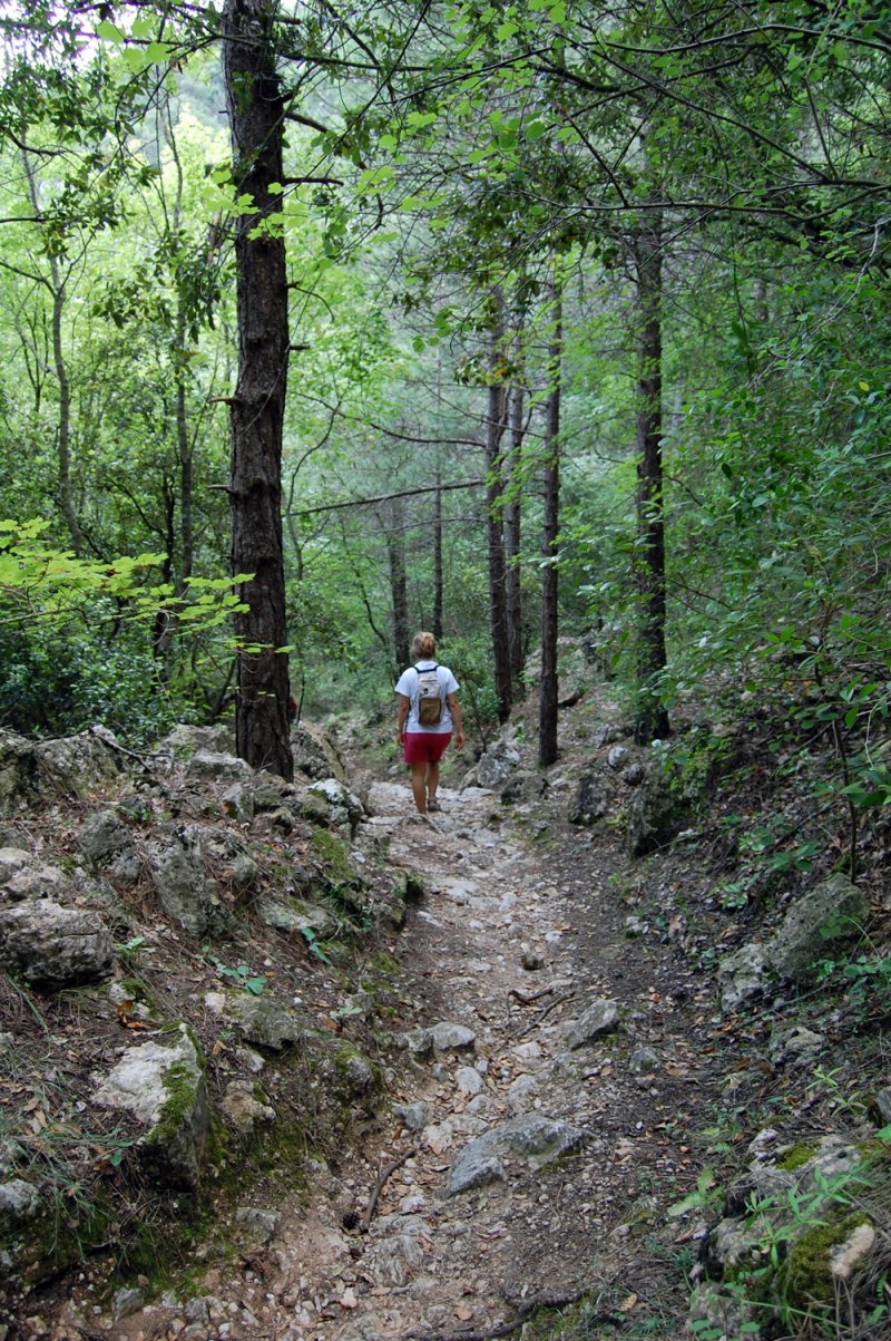
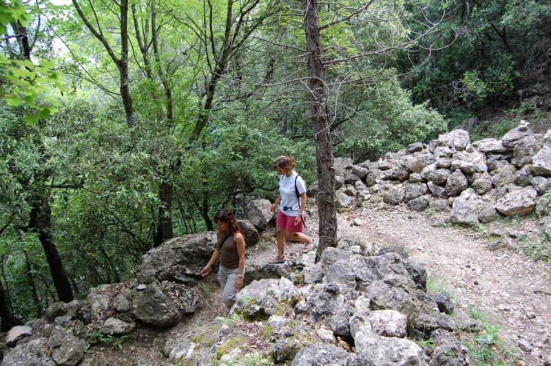
The predominant vegetation consists of Aleppo pine and coastal holm oak woods with viburnum tinus (in low-lying areas), evergreen oak (at the Coll de la Torniola), Austrian pine (on the bends) and scrub (from the Portell de Llaberia almost to the village of Llaberia). The flora to be seen in spring is highly diverse, including some orchids.
This walk therefore takes you through places of outstanding natural beauty and at the same time encourages you to imagine the past, the story of the human imprint on the Llaberia mountains.
00.00 Set off from the old communal laundry house of La Torre de Fontaubella, following the Camí de l’Aigua, the old path to Llaberia. Go past the great oak tree of La Plana towards the Forn Teuler area, passing alongside the Riera de Fontaubella watercourse. Go up a cemented track and then turn left up the old track, stone-paved in places, that leads to the Pla de la Femada. Cross the path leading to Les Casotes, an abandoned village, to carry straight on along the cart track going down to the Font de Fontesaubelles spring (00.50).
Go along the Camí de Massanes, the path that goes off beside the water tank and into a wood of pines and holm oaks, climbing up to the Coll de la Torniola and then going back down to the Massanes valley (1.50).
Here you find the cart track from the pass of the Coll del Guix to the Mas d’en Magrinyà, a farm.
Take the PR-C 53 (marked in yellow and white) to the left, passing through Els Estrets and climbing gently to the second special tree on the route: the Escoda holm oak (2.05).
Now turn right before the Massanes water tank, to take the PR-C 53 mule track (marked in yellow and white), until the start of the zig-zags where the GR 7 (marked in red and white) climbs gently up to the Portell de Llaberia (2.50).
When you get to the top you can see the village of Llaberia. Follow the GR 7 downhill as far as the Llaberia watercourse (3.15). Cross over it and go gently uphill to the picturesque cemetery. A few metres later, enter Llaberia next to the front of the church (3.30).
Text by Albert Sabaté
Consorci de la Serra de Llaberia
C/ Foig, 5
43746 Tivissa
Tel.: (+34) 977 417 544
consorci@serrallaberia.org
www.serrallaberia.org
Image gallery