Itinerary 1: La Morera de Montsant
Information
Level
High
Distance
6.20 km
Drop
400 m
Duration
2 h 30 min
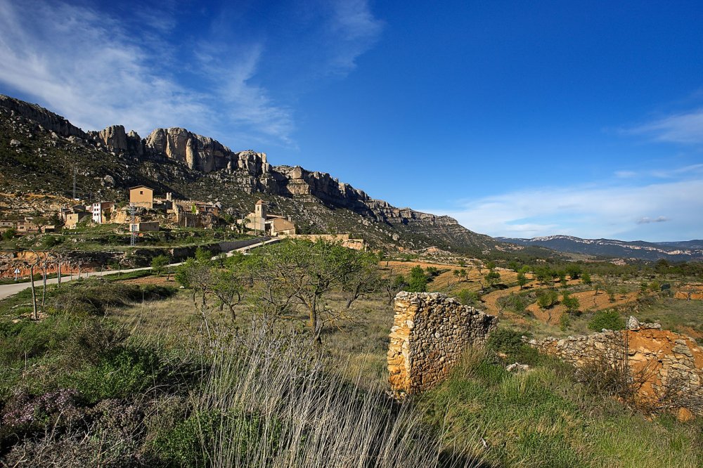
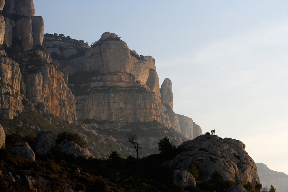
A trail along the south side of the Serra de Montsant, recommended for those who want to contemplate the countryside and take spectacular photographs. On the way up, we follow a gentle path which passes the foot of the rock faces of Cingle Major (Large Cliff) and allows the walker to see them from below, appreciating their full grandeur. The second part of the walk again follows the cliffs, this time along the upper part. The entire landscape of El Priorat region unfolds before your eyes. Finally, the return to La Morera follows one of the most vertical and spectacular downward slopes.
This hike can be completed in a morning if enough time is allowed. The difficulty of the descent can prolong the walk a great deal, particularly if it is done in a group.
This route is especially suitable for doing in autumn or spring. The long hours of strong sunshine make it unadvisable in summer. The excursion should not be done in case of fog. Great care should be taken if the rocks are damp.
Technical description
TOTAL DISTANCE: 6.2 km
TOTAL TIME: 2 h 30 min (rest stops and ascents not included)
DIFFICULTY LEVEL: HIGH (not suitable for children or people with vertigo)
TOTAL ASCENT: 400 m
Trail description
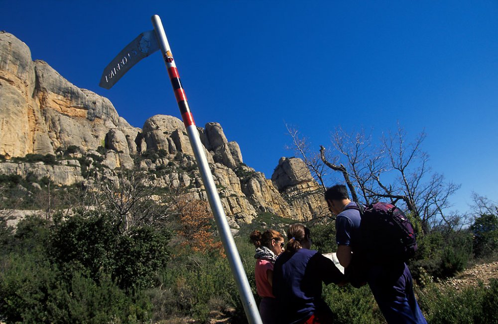
Leave La Morera de Montsant on the TV-7021 road, towards Cornudella. When you reach a rock with a metal cross, take the path on the left hand side that is marked by a signpost. This is known as the Camí dels Fareus (Fareu’s path). This will take you to Serra Major and is well marked with short trail marks (PR, yellow and white) and milestones. The start of the walk slopes gently upwards for over an hour. When there is a change in direction, bringing the path nearer to the cliff and climbing by the Grau del Carabassal |1.1| the ascent becomes steep. Once you have passed the Cova dels Fareus or Fumada to the left, cross the two outcrops with the help of the pins embedded in the rock. Above the cliff is the Roquera dels Grèvols |1.2| and all that is needed to get from here to the Serra Major is a steep ascent up a rocky slope. At the top there is a signpost. Take the GR 174 trail (red and white markers) in the direction of Cabacés. After following this for some two hundred metres, take the track that leads off to the left, which passes in front of the cliffs of El Fuster and El Portaler.
To begin the descent, once you see the Roca del Xollat |1.3|, follow the path until you come to a narrow pass between two rocks, which leads just in front of the Grau del Carrasclet |1.4|. This is equipped to enable the walker to manage an entirely vertical elevation gain of some 15 m. After reaching the Racó dels Boixets |1.5| follow the path which descends quite sharply until the signpost indicating the direction of the Grau dels Barrots. Continue to the left, descending by the well-trodden path, to a mound of pebbles. A milestone indicates the path, which leads off to the right. Once past the Cova Cabrera |1.6|, the path takes us straight down to the village.
Image gallery